
Hair Salon Serving Sarasota, Venice, Osprey, Nokomis & Beyond
My private studio is in Loft 33 at Paradise Plaza, 3800 S. Tamiami Trail, in Sarasota. Below are some of the neighborhoods and towns in the area, with the distance and driving route from each.
These are just some of the places my clients come from. No matter where you live or how far you're traveling, you are welcome to book an appointment.
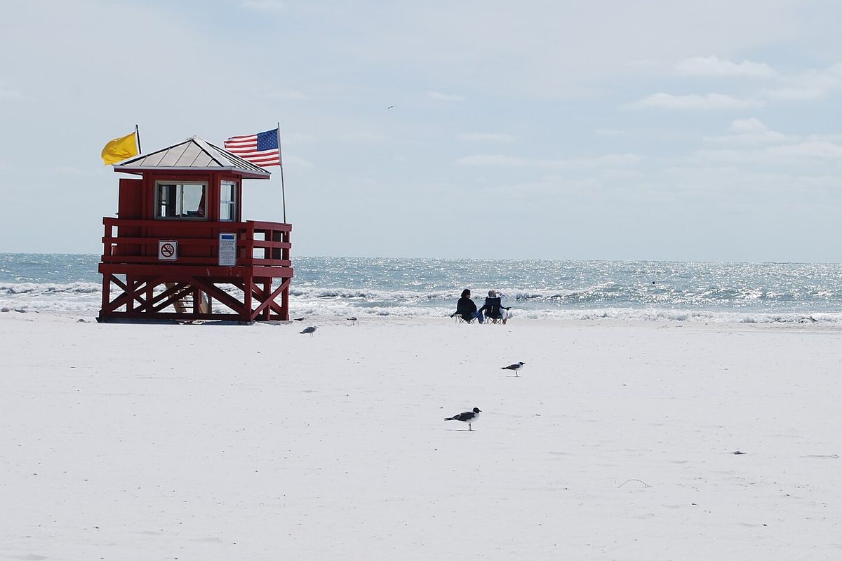
Greater Sarasota
Sarasota is known as the Circus City: John Ringling moved the winter quarters of the Ringling Bros. and Barnum & Bailey Circus here in 1927. Rising Tide Salon Studio is on US-41 in the middle of town, near Southside Village, Gulf Gate and the Siesta Drive bridge to Siesta Key.
Local highlights
- Siesta Beach, where the sand is about 99% quartz and stays cool underfoot even on hot days
- The Ringling, the official state art museum of Florida, home to the Ca' d'Zan mansion and the Circus Museum
- The Legacy Trail, an 18.5-mile rail trail that connects Sarasota and Venice
- From Siesta Key
- About 5 miles
- Drive time
- Usually 10 to 15 minutes
- Route
- Siesta Drive over the bridge to US-41 (S. Tamiami Trail), then turn right; Paradise Plaza is about a quarter mile south
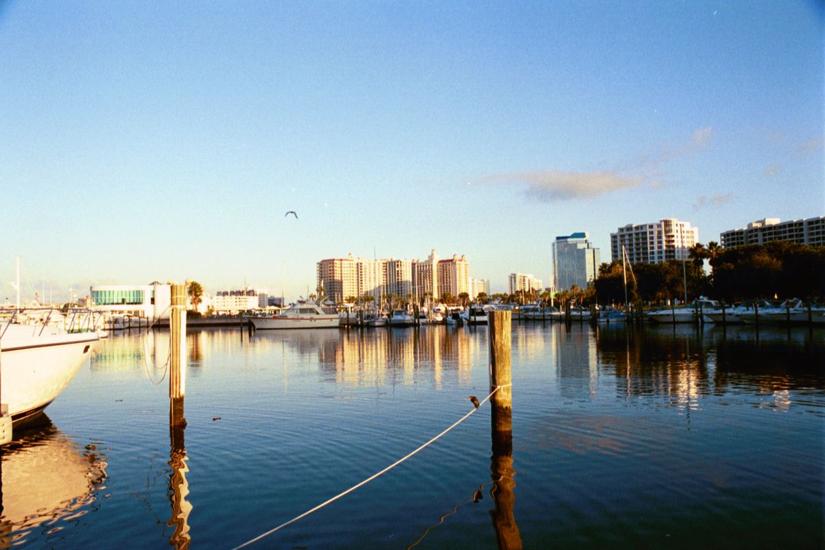
Downtown Sarasota
Downtown Sarasota stretches from Main Street and Five Points to the bayfront and is home to several of the city's long-running arts institutions.
Local highlights
- The Sarasota Opera House, opened in 1926 as the Edwards Theatre, where Elvis Presley performed in 1956
- Marie Selby Botanical Gardens, 15 acres on Sarasota Bay with more than 5,500 orchids
- Florida Studio Theatre, with five theater spaces within two blocks of each other
- Distance
- About 3.5 miles
- Drive time
- Usually 10 to 15 minutes
- Route
- Head south on US-41 (S. Tamiami Trail) to Paradise Plaza, near Westfield Southgate
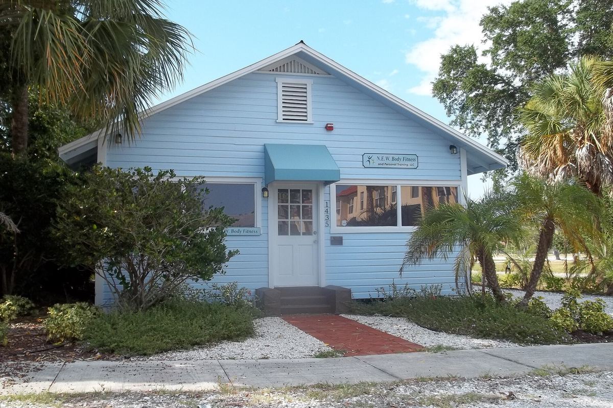
Rosemary District
Just north of downtown, the Rosemary District takes its name from Rosemary Cemetery, the city's first public cemetery. It includes the Overtown Historic District, a historically African American neighborhood, and is home to the Boulevard of the Arts.
Local highlights
- Rosemary Cemetery, resting place of John Hamilton Gillespie, Sarasota's first mayor
- The Overtown Historic District, with 25 historic buildings along Central and Cohen Avenues
- The Leonard Reid House, built in Overtown in 1926 and moved to Newtown in 2022 to house the Sarasota African American Cultural Coalition
- Distance
- About 4 miles
- Drive time
- Usually 10 to 15 minutes
- Route
- Head south through downtown on US-41 (S. Tamiami Trail) to Paradise Plaza
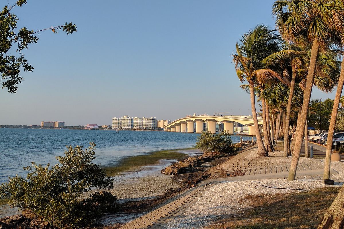
Bird Key
Bird Key is a residential island of about 250 acres in Sarasota Bay, created by dredge and fill in the late 1950s. It sits along the John Ringling Causeway between the mainland and St. Armands Key.
Local highlights
- Before it was expanded, the original small island was the home of John Ringling North, nephew of circus founder John Ringling
- The 65-foot Ringling Bridge, opened in 2003 and lit with color-changing LEDs since 2019
- St. Armands Circle next door, with more than 130 shops and restaurants and the Circus Ring of Fame
- Distance
- About 5 to 5.5 miles
- Drive time
- Usually 12 to 20 minutes
- Route
- Bird Key Drive to the John Ringling Causeway, over the bridge into downtown, then south on US-41 (S. Tamiami Trail)
Osprey
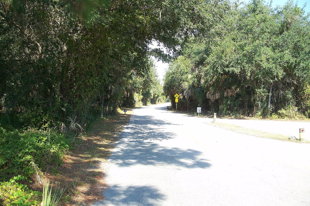
Osprey sits on Little Sarasota Bay between Sarasota and Nokomis. Part of its bayfront became Bertha Palmer's Osprey Point estate, which she began buying in 1910.
Local highlights
- Historic Spanish Point, a 33-acre museum spanning about 5,000 years of history and the first Sarasota County site on the National Register of Historic Places
- Oscar Scherer State Park, about 1,400 acres and one of the few places in Florida with a healthy Florida scrub jay population
- The Legacy Trail, which runs through Oscar Scherer State Park and connects to its trails
- Distance
- About 9 miles
- Drive time
- Usually 15 to 25 minutes
- Route
- Head north on US-41 (S. Tamiami Trail) to Paradise Plaza
Nokomis
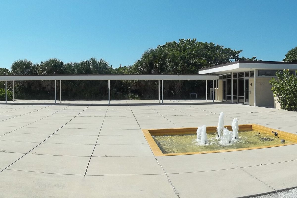
Nokomis lies between Osprey and Venice, with Gulf access at Nokomis Beach on Casey Key. Its first settlers arrived in 1868, when the area was still known as Horse and Chaise.
Local highlights
- Nokomis Beach and North Jetty Park on the barrier island of Casey Key
- About 2.5 miles of the Legacy Trail, including a bridge over Shakett Creek at Dona Bay
- A 1917 town plan by Dr. Fred Albee, with streets radiating from two circles
- Distance
- About 13 to 15 miles
- Drive time
- Usually 25 to 35 minutes
- Route
- North on US-41 (S. Tamiami Trail), or I-75 north to Clark Road (exit 205), west to US-41, then north
Venice
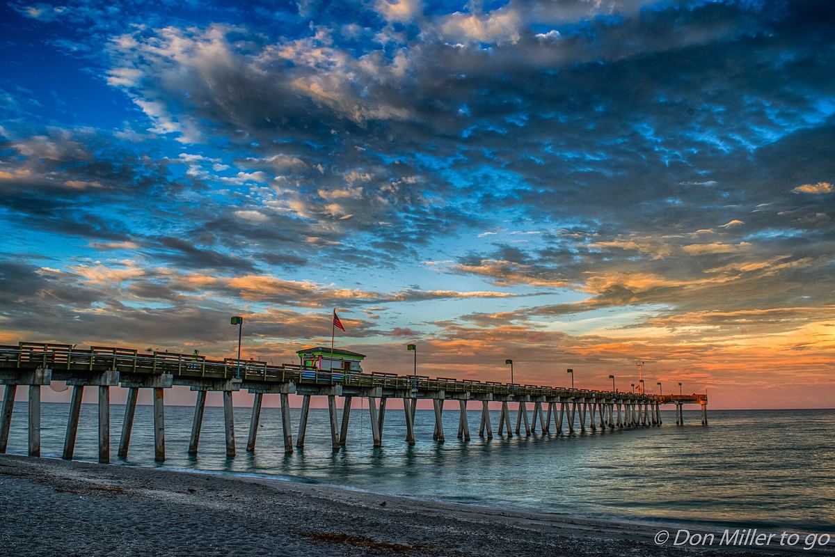
Venice was laid out in the 1920s by city planner John Nolen. It is known as the Shark's Tooth Capital of the World for the fossilized shark teeth found along its beaches.
Local highlights
- The annual Shark's Tooth Festival
- The Historic Venice Train Depot, where the Legacy Trail begins and meets the 9.3-mile Venetian Waterway Park trail
- Former winter headquarters of the Ringling Bros. and Barnum & Bailey Circus, whose Clown College was originally located in Venice
- Distance
- About 15 to 16 miles
- Drive time
- Usually 25 to 40 minutes
- Route
- North on US-41 (S. Tamiami Trail), or I-75 north to Clark Road (exit 205), west to US-41, then north
Ready for a Fresh Look?
Book your appointment with Augast today. By appointment only, and availability is limited, so secure your spot online in minutes.
Book My AppointmentFind the Studio
Rising Tide Salon Studio
Loft 33, Paradise Plaza
3800 S. Tamiami Trail
Sarasota, FL 34239
By appointment only. Call or text 941.321.5879.
Navigate from my location